D7 Balaton – Lonjsko polje
Max elevation: 217 m
Min elevation: 114 m
Total climbing: 375 m
Total descent: -319 m
Technical info
Passes through: Sirova Katalena – Čepelovac – Đurđevac – Molve – Repaš – Novačka – Gola
| Length: | 43,3 km |
| Altitude difference: | 103 m |
| Total ascent: | 374 m |
| Total descent: | 318 m |
| Surface: | asphalt |
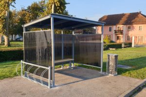
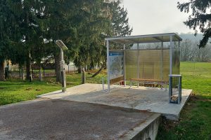
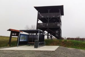
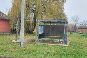
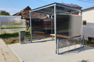
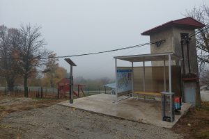
Rest stops, service stations and info points
1. Gola, Ulica Stjepana Radića
46.197886N 17.058497E
2. Mali Kostanj, Mičetinac
46.011912N 17.022799E
3. Sirova Katalena
45.960867N 17.063183E
Bilogora route
Max elevation: 297 m
Min elevation: 124 m
Total climbing: 873 m
Total descent: -871 m
Technical info
Passes through: Križevci – Đurđic – Sv. Petar Čvrstec – Ruševac – Većeslavec – Jagnjedovec – Koprivnica
| Length: | 43,3 km |
| Altitude difference: | 179 m |
| Total ascent: | 773 m |
| Total descent: | 775 m |
| Surface: | asphalt |
Rest stops and service stations
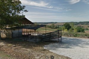
1. Mala Mučna
46.064107N 16.734244E
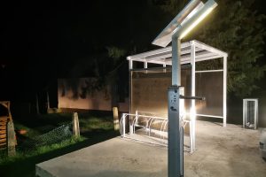
2. Sveti Petar Čvrstec
46.006750N 16.663146E
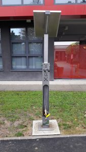
3. Križevci, Trg svetog Florijana
46.02018N 16.54344E
Kalnik route
Max elevation: 303 m
Min elevation: 135 m
Total climbing: 337 m
Total descent: -334 m
Technical info
Passes through: Koprivnica – Kunovec Breg – Subotica Podravska – Rasinja – Prkos – Veliki Grabičani – Veliki Poganac – Apatovec – Jarčani – Glogovnica – Ivanec Križevački – Križevci
| Length: | 41 km |
| Altitude difference: | 169 m |
| Total ascent: | 349 m |
| Total descent: | 347 m |
| Surface: | asphalt |
Rest stops and service stations
1. Rasinja, Vinogradska ulica
46.187152N 16.710474E
2. Križevci 1 – Špiranec
45.980390N 16.508810E
3. Apatovec
46.147613N 16.572917E
New Prekodravlje route
Max elevation: 122 m
Min elevation: 106 m
Total climbing: 161 m
Total descent: -173 m
Rest stops and service stations
1. Kalinovac, Ulica Stjepana Radića
46.024643N 17.113073E
Technical info
Passes through: Đurđevac – Kalinovac – Podravske Sesvete – Ferdinandovac – Kalinovac – Đurđevac
Rest stops and service stations: Kalinovac
Circular route
| Length: | 40,57 km |
| Altitude difference: | 18 m |
| Total ascent: | 214 m |
| Total descent: | 219 m |
| Surface: | asphalt |
Line route Koprivnica – Bjelovar
Max elevation: 291 m
Min elevation: 159 m
Total climbing: 0 m
Total descent: -132 m
Technical info
Line route
| Length: | 3,68 km |
| Altitude difference: | 134 m |
| Total ascent: | 1 m |
| Total descent: | 134 m |
| Surface: | asphalt |
Line route Križevci – Marija Bistrica
Max elevation: 184 m
Min elevation: 120 m
Total climbing: 118 m
Total descent: -131 m
Technical info
Line route
| Length: | 7,78 km |
| Altitude difference: | 68 m |
| Total ascent: | 119 m |
| Total descent: | 69 m |
| Surface: | asphalt |
Line route Križevci – Vrbovec
Max elevation: 159 m
Min elevation: 119 m
Total climbing: 88 m
Total descent: -110 m
Technical info
Line route
| Length: | 11,64 km |
| Altitude difference: | 40 m |
| Total ascent: | 96 m |
| Total descent: | 116 m |
| Surface: | asphalt |
Line route Legrad – Ludbreg
Max elevation: 139 m
Min elevation: 128 m
Total climbing: 15 m
Total descent: -23 m
Rest stops and service stations
1. Legrad, Trg svetog Trojstva, 46.297516N 16.856211E
Technical info
Rest stops and service stations: Legrad
Line route
| Length: | 8,35 km |
| Altitude difference: | 12 m |
| Total ascent: | 28 m |
| Total descent: | 37 m |
| Surface: | asphalt |
Line route Šoderica – Gola
Max elevation: 129 m
Min elevation: 119 m
Total climbing: 33 m
Total descent: -38 m
Technical info
Vezna ruta
| Length: | 17,75 km |
| Altitude difference: | 11 m |
| Total ascent: | 60 m |
| Total descent: | 65 m |
| Surface: | asphalt |
Amazon of Europe Bike Trail S06 Prelog – Koprivnica
Max elevation: 153 m
Min elevation: 122 m
Total climbing: 327 m
Total descent: -337 m
Technical info
Line route
| Length: | 55.9 km |
| Altitude difference: | 11 m |
| Total ascent: | 53 m |
| Total descent: | 62 m |
| Surface: | asphalt |

 Hrvatski

